Drone technology has revolutionized various industries by offering innovative solutions that are efficient, cost-effective, and versatile. In the realm of security, drones are utilized for surveillance, monitoring large areas, and enhancing overall security measures. With advanced cameras and sensors, drones can provide real-time aerial views, detect potential threats, and improve response times in emergency situations.
Water Sampling With Drones
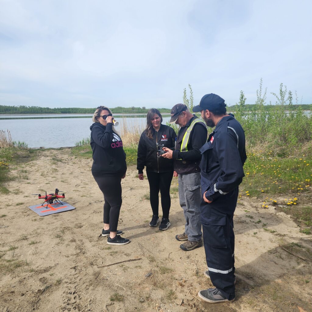
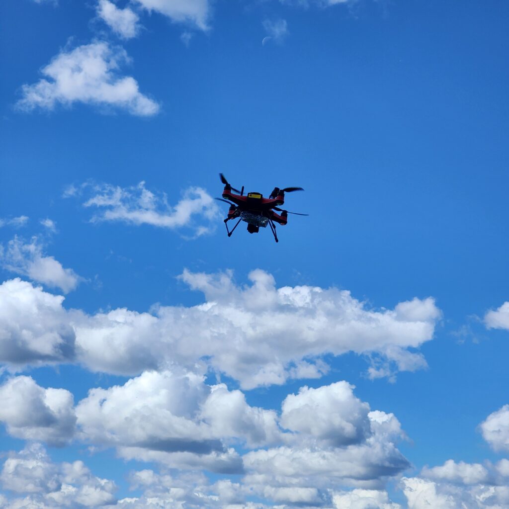
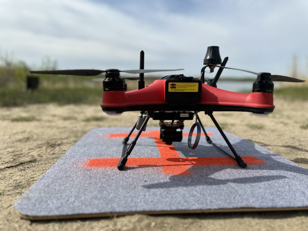
Water Sampling is another area where drones play a crucial role, especially in environmental monitoring and research. Drones equipped with specialized sampling equipment can collect water samples from lakes, rivers, and oceans, providing valuable data for water quality analysis, pollution detection, and ecosystem assessment. This capability enables our specialists to monitor water resources more effectively and make informed decisions for conservation and management.
In Agriculture, drones have transformed traditional farming practices by offering precision agriculture solutions. Drones equipped with cameras, multispectral sensors, and thermal imaging technology can gather data on crop health, soil conditions, and irrigation needs. This data helps farmers optimize their crop management strategies, improve yield, reduce resource wastage, and ultimately increase profitability. PSSI can conduct aerial surveys, creating detailed maps, and monitoring crop health, drones empower farmers to make data-driven decisions that enhance productivity and sustainability in agriculture.
Our Drone Services
Water Drone Services:
Surveillance and Patrol:
Conduct regular patrols over bodies of water, such as lakes, rivers, and reservoirs, to monitor for any unauthorized activities or security breaches.
Utilize high-definition cameras and sensors to capture real-time footage and data, providing comprehensive surveillance coverage.
Emergency Response Support:
Assist in search and rescue operations during emergencies, such as drowning incidents or boat accidents, by swiftly navigating through water bodies and providing aerial support to rescue teams.
Deliver life-saving equipment or supplies to individuals in distress, augmenting the capabilities of traditional rescue efforts.
Environmental Monitoring:
Monitor water quality and detect pollutants or hazardous substances in lakes, rivers, or coastal areas to ensure compliance with environmental regulations.
Identify potential ecological threats or anomalies, such as algae blooms or oil spills, for prompt mitigation and environmental protection.
Infrastructure Inspection:
Conduct routine inspections of water infrastructure, including dams, bridges, and pipelines, to detect any signs of damage, deterioration, or unauthorized access.
Provide detailed visual assessments and data analytics to support maintenance planning and infrastructure resilience.
Agricultural Drone Services:
Crop Monitoring and Management:
Perform aerial surveys of agricultural fields to assess crop health, growth patterns, and pest infestations using advanced imaging technology, such as multispectral and thermal cameras.
Generate precise crop health maps and analytics to optimize irrigation schedules, fertilizer applications, and pest control strategies, enhancing yield and resource efficiency.
Precision Agriculture:
Implement precision farming techniques by utilizing drones to precisely apply fertilizers, pesticides, or herbicides based on real-time data insights, thereby minimizing input costs and environmental impact.
Create prescription maps and variable rate applications tailored to specific crop requirements and field conditions, maximizing productivity while minimizing waste.
Yield Forecasting and Analysis:
Estimate crop yields and forecast harvest outcomes by collecting comprehensive aerial data throughout the growing season, including plant counts, canopy coverage, and biomass measurements.
Enable data-driven decision-making for farmers and agricultural stakeholders, facilitating better crop management strategies and market planning.
Land Mapping and Surveying:
Conduct detailed topographic surveys and land mapping exercises to support land-use planning, soil analysis, and infrastructure development projects.
Generate accurate 3D models, elevation maps, and contour maps of agricultural landscapes to optimize field layout, drainage systems, and land utilization.
By integrating water drones and agricultural drones into Papaschase Security Services, we can provide a comprehensive range of solutions tailored to enhance security, efficiency, and sustainability across diverse operational contexts.